WalkSydney
About
Our Asks
Committee and Constitution
Our partners
Our work
Publications
Campaigns
Submissions
WalkSydney submission to government
Older Submissions
Updates
Articles
Substack newsletter
Get involved
Become a member
Category:
Movement and Places
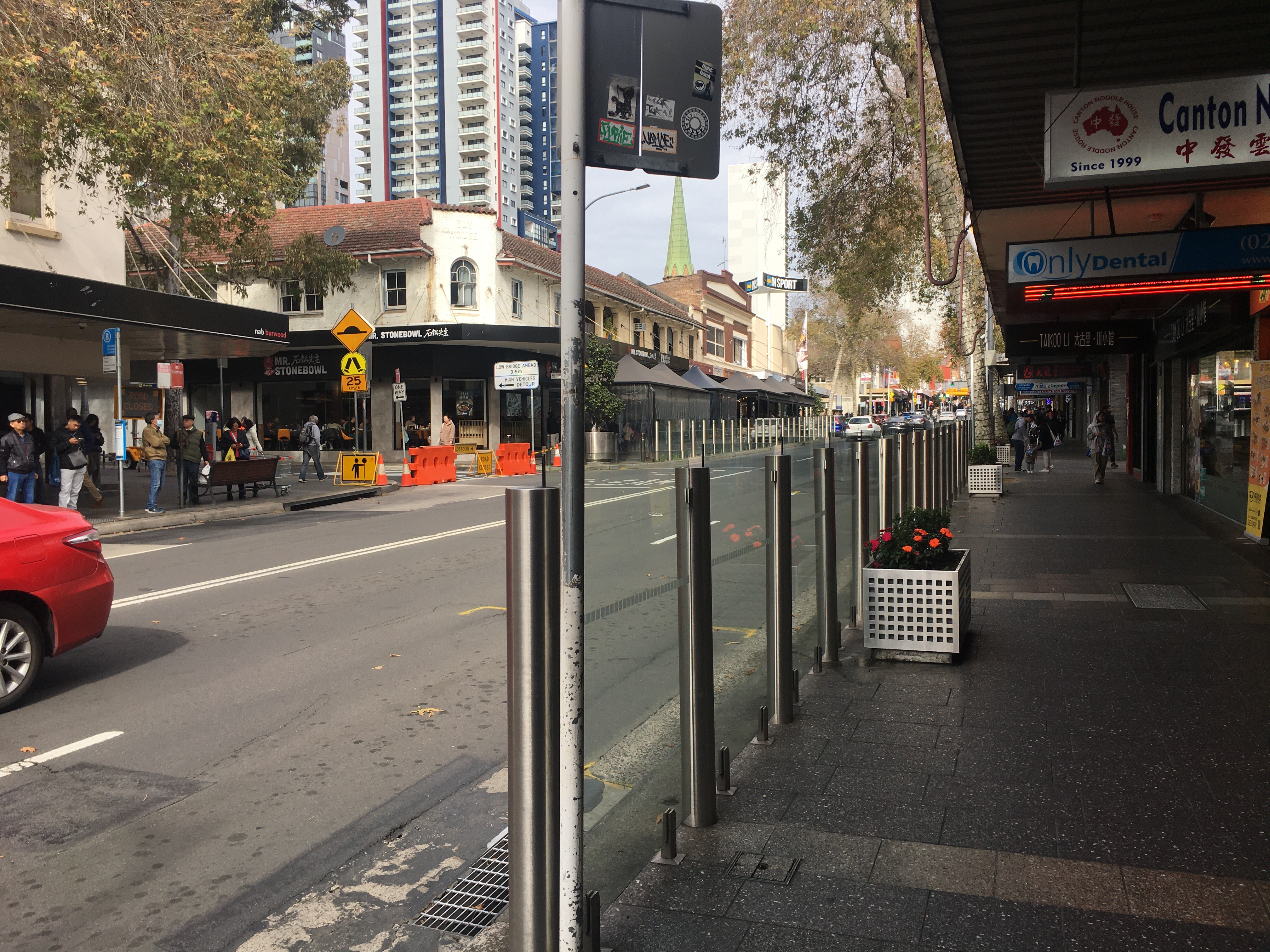
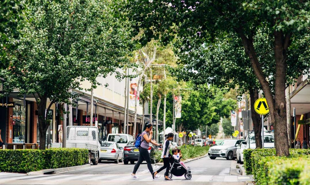
Burwood
,
crossing
,
Cycling
,
Fences
,
Footpaths and Sidewalks
,
Movement and Places
,
Submissions
Submission to the Burwood Walking and Cycling Plan
Cars
,
Cycling
,
Movement and Places
,
Safety
,
Sydney
Traffic-free weekends at Centennial Park have revived the “People’s Park” its founder envisioned
Events
,
Light Rail
,
Movement and Places
,
Public Transport
,
Safety
,
Sydney
,
traffic calming
Traffic-free Boxing Day
Footpaths and Sidewalks
,
Movement and Places
,
Safety
,
Sydney
,
Technology
,
Walks
The Pits of Communication
Maps
,
Movement and Places
,
Navigation
,
Sydney
,
Technology
Pedestrians left at the kerb by Google Maps
Local Control
,
Motorways
,
Movement and Places
,
Planning
,
Submissions
,
Sydney
Managing our roads for better places
Loading Comments...
You must be
logged in
to post a comment.


You must be logged in to post a comment.